Best Follow Me Drones in 2026: 8 Drones That Follow You
The best follow me drones of 2026, from the DJI Mini 4 Pro and Air 3S to the HoverAir X1 Pro Max and DJI Neo 2, plus how drone tracking works.

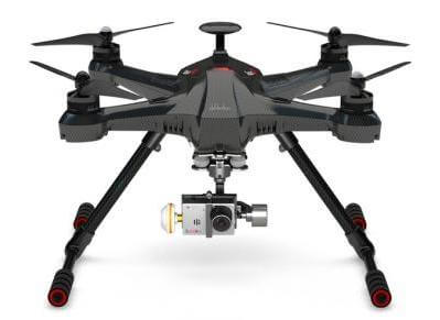
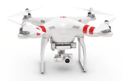
Waypoint navigation has moved drones into new sectors such as 3d mapping and photogrammetry. DJI, Walkera, 3DR and Yuneec drones all have waypoints navigation

The best follow me drones of 2026, from the DJI Mini 4 Pro and Air 3S to the HoverAir X1 Pro Max and DJI Neo 2, plus how drone tracking works.
The best budget drones of 2026 with GPS, return to home and 4K cameras, from the DJI Mini 4K and Flip to the Potensic Atom 2 and DJI Neo 2.
A clear explanation of how drones fly and navigate, from the flight controller and sensors to motors, radio links, autonomy and Remote ID.

Where drone delivery really stands in 2026, from Walmart’s million deliveries to the FAA’s still-pending Part 108 BVLOS rule.
How time-of-flight (ToF) cameras and flash lidar work, how they compare with scanning lidar and stereo vision, and how drones use ToF for landing, altitude hold and obstacle sensing.
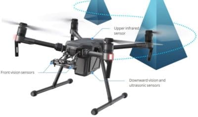
How drone obstacle avoidance works, the sensor types from vision to LiDAR and radar, their limits, and the drones with the best collision avoidance in 2026.
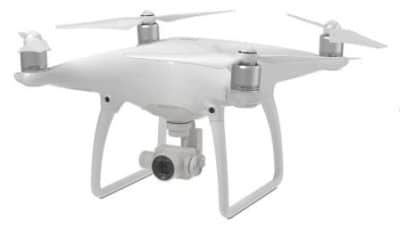
The Phantom 4 Pro intelligent flight modes make flying and producing meaningful aerial imagery so much easier. Here, we review the Phantom 4 Pro including the new Phantom 4 Pro v2.0 intelligent…
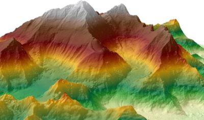
The best drone mapping and photogrammetry software in 2026 compared, from PIX4Dmatic, Metashape and DJI Terra to DroneDeploy and free WebODM.
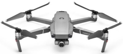
This DJI Mavic 2 Pro and Mavic 2 Zoom review looks at the outstanding features of these 2 new quadcopters. Both Mavic 2 drones are a tremendous feat of engineering, elegant design…
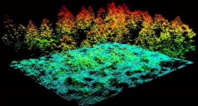
A 2026 comparison of drone lidar payloads and integrated lidar drone systems, with specs, prices and buying advice.
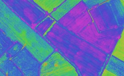
How multispectral drones and NDVI maps help farmers spot crop stress early, plus the best drones, sensors and software.
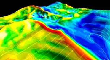
Here are 10 drone 3D photogrammetry and photogram tips for the beginner or anyone using their drone to create 3D models, photogrammetry maps and Digital Elevation Models (DEMS). What is great about creating 3D photogrammetry images is that you don’t need any special sensors on your drone. Just a normal camera. Now, to create great…
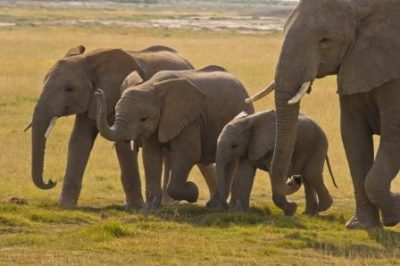
How thermal drones and AI help rangers stop rhino and elephant poachers, plus the other ways drones now protect wildlife.
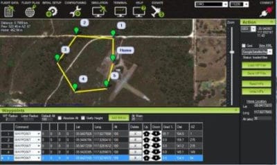
How drone GPS and waypoint navigation work, from GNSS and RTK accuracy to planning missions in current apps.
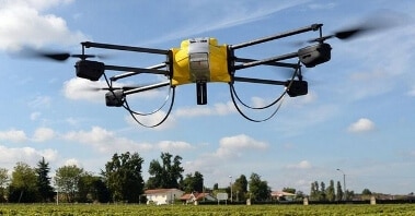
There are many terrific benefits of drones across multiple sectors. Every week, we read about the new benefits of using UAVs for inspections. Drones being used in sectors, such as science, agriculture, construction, marketing, archaeology, conservation, the environment. Drones are benefiting search and rescue missions immensely. They are saving lives, time and money. A couple…